Built with JavaScript and SVG

We are excited to offer an HTML5/JavaScript county map! It is a great way to visualize county-level data in an interactive format. Because it includes 3,140 counties, the map is a large file and will take some time to load.
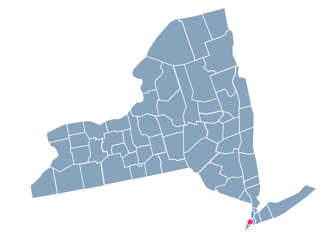
Just need a county-level map for a specific state (like Texas, New York or California?). No problem! This map can be used to create a county-level map of any one of the 50 states. Learn more by clicking on the buttom below:

We're so confident in the quality of our map that we offer a full 30-day money-back guarantee. If the map doesn't work out for you we'll happily refund your money.


Customize maps by editing a simple text file. No knowledge of HTML5, Flash, or Javascript is required. Step-by-step documentation makes installation painless.

Our HTML5 maps look gorgeous on iPhones, Android devices, iPads and other tablets. Our maps automatically detect mobile devices and adjust navigation to be touch friendly.

Get fast answers from the one of the maps' developers. We're happy to troubleshoot any installation or customization issues that arise.

Resize the map and utilize a transparent background to integrate the map into your site.

Districts act as links. Click on a province and go to a specific url. Use the map to simplify your websites user interface.

Almost every aspect of the map can be customized. Colors, descriptions, links, locations, background colors, regions and much more.
Does the map work on iPhones and iPads?
Yes! It does.
Does the map only work on browsers supporting HTML5 Canvas?
No. The map is actually built using JavaScript and the raphael.js library. The term HTML5 map is used loosely to make it clear that the map is not using Flash and will work on mobile devices. The map looks best on modern browsers, but degrades gracefully to accommodate older browsers.
Does the map require jQuery?
No. The map does not use any jQuery so it won't interfere with any jQuery you may be using on your page.
What browsers has the map been tested on?
Chrome, Firefox, Safari, Opera, and Internet Explorer 7+. Because this is such a large map, IE7 and IE8 will be very slow when displaying all 3,140 counties
© Simplemaps.com 2010-2015 | License | Privacy Policy | Releases | Testimonials | Resources | Documentation
Deprecated Maps: Flash USA Map | Flash World Map | Flash Canada Map | Flash Europe Map | Flash Congress Map
Formerly FlashUSAmap.com and Flashworldmap.com